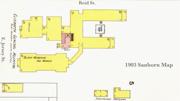
Sanborn Maps: Mapping Elizabeth General's Evolution
Sanborn Maps were an important piece of the puzzle in figuring out where Elizabeth General Hospital and Dispensary started (on Jaques St.) and how the complex at Reid and E. Jersey St. evolved and later became Elizabeth General Hospital and, later, Elizabeth General Medical Center. Not only did they verify dates, they also provided excellent layouts of the properties. For instance, the Jaques Folly property had a laundry in their map and there is no known photo that shows it.
This information was last reviewed or updated on October 13, 2026. Adjustments may be made to this page as new information is added, making this a continual work in progress.
